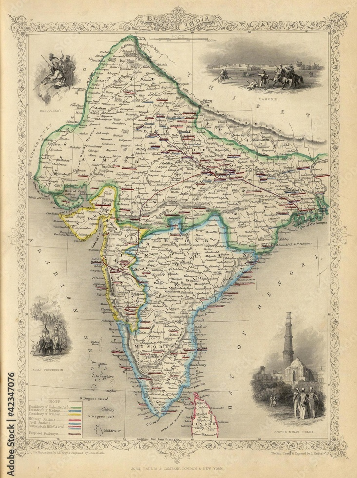
Published in 1821 – Map of India
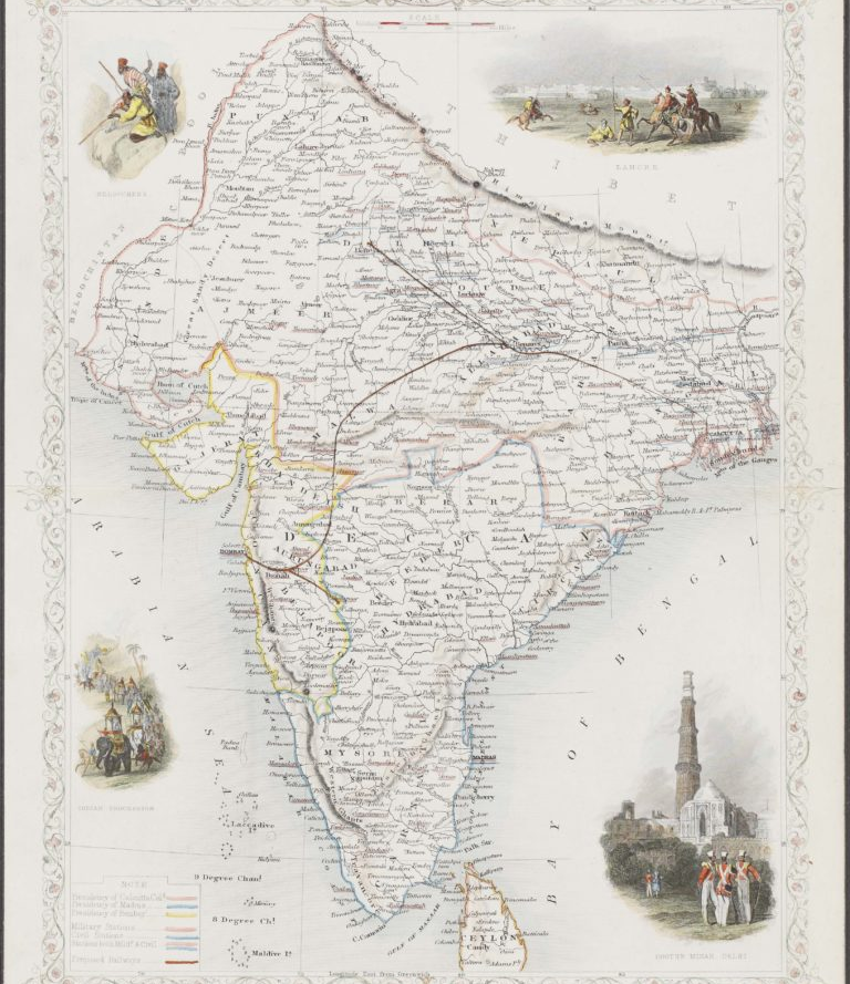
One of the most respected cartographers of the 19th century, John Tallis and Company were renowned for their accurate, intricate maps, which were prized for their decorative vignettes showing the people and landscape of the region. This is a detailed and decorative map of British India in 1851. Inside a decorative floral border, the map begins to resemble the contemporary form that we know today, and was published as part of R. Montgomery Martin’s Illustrated Atlas, one of the last decorative atlases of the 19th century.
It is a wonderfully colourful map — different colours mark out the Madras, Calcutta and Bombay Presidencies, while a red line cutting across northern India and joining Bombay in the south-west delineates the ‘proposed railway’. The proposals for an Indian Railway were first made in Madras in 1832, while the first passenger train in India ran between Bori Bunder (Mumbai) and Thane in 1853.
The vignettes on the corners include coloured depictions of Indian landscapes, architecture and people. These include a view of Lahore (top right), a view of the Cootub (Qutub) Minar in Delhi (bottom right), an Indian procession complete with elephants, camels and horses (bottom left) and ‘Beloochees’ (top left), a tribe living in the Baluchistan region in South Asia.
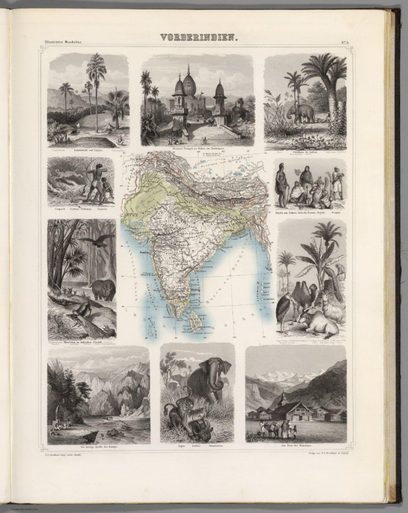
Map of India from a 1863 German school atlas.
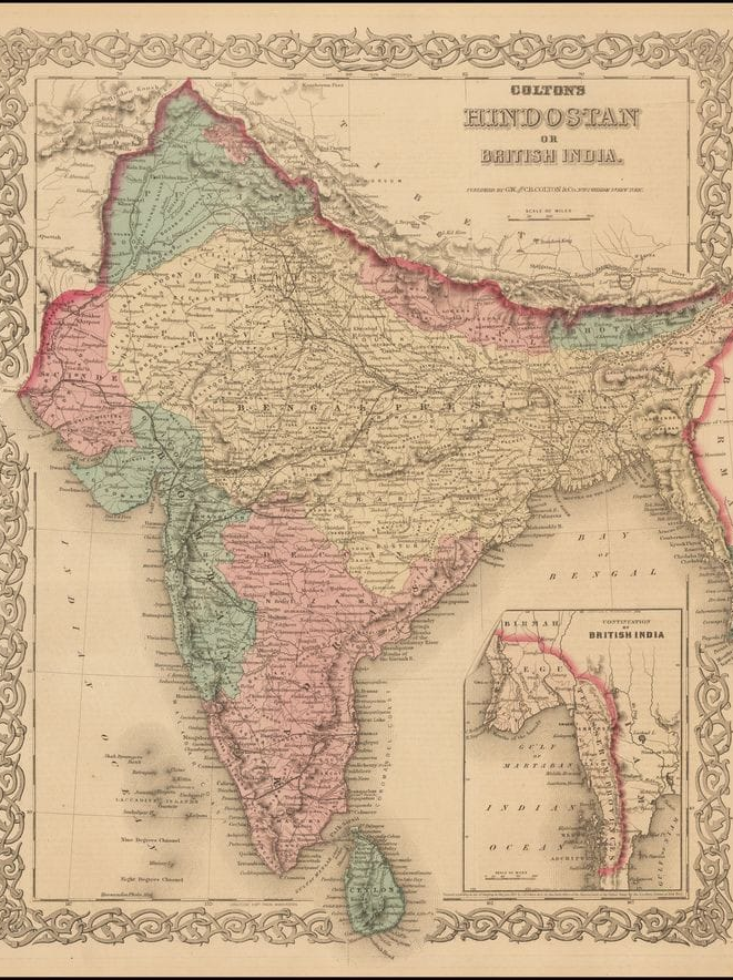
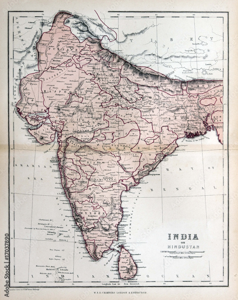
Map Of Colton’s Hindostan or British India 1872.
British India Map
Interesting mention of “Beloochers of Beloochistan” on top left corner.
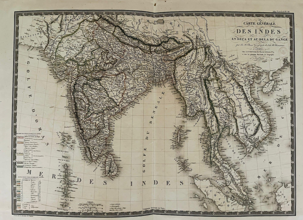
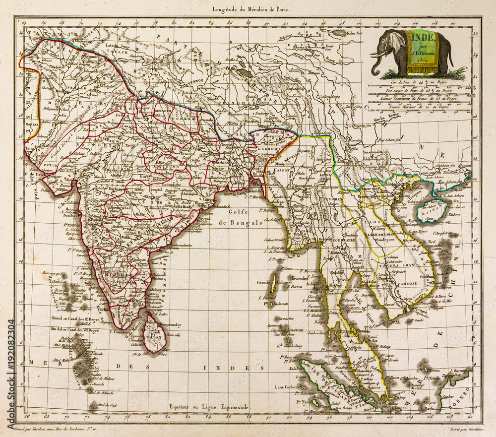
Map of India and Southeast Asia, 1812, with an elephant
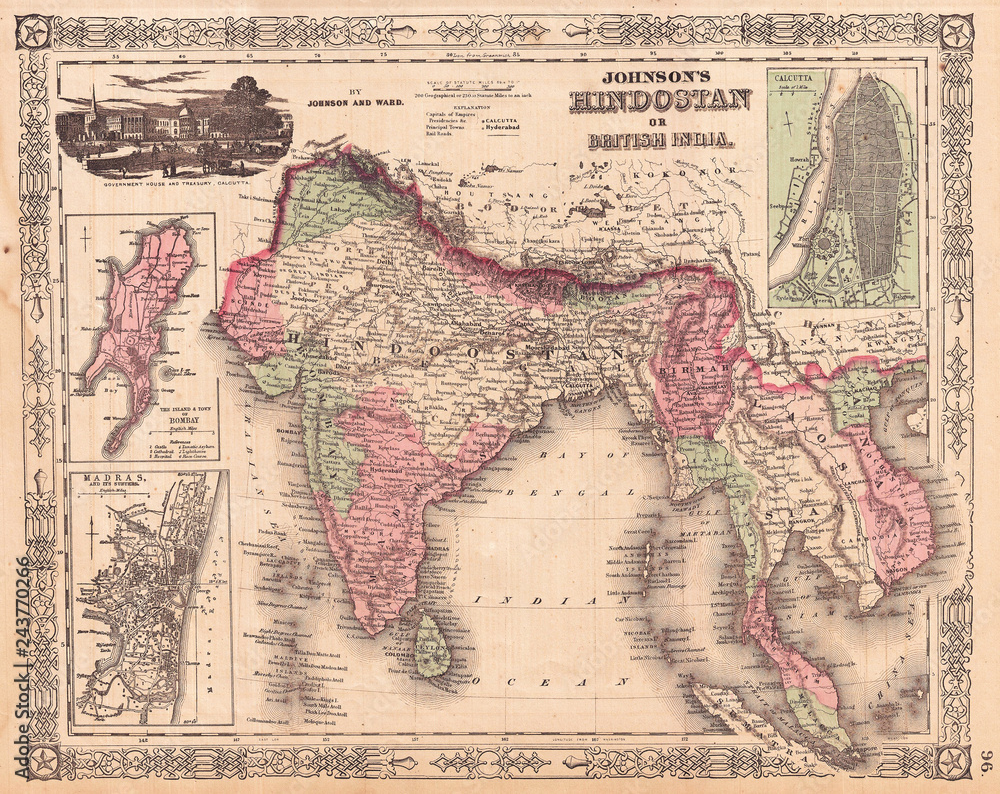
1865, Johnson’s Map of India, Hindostan or British India
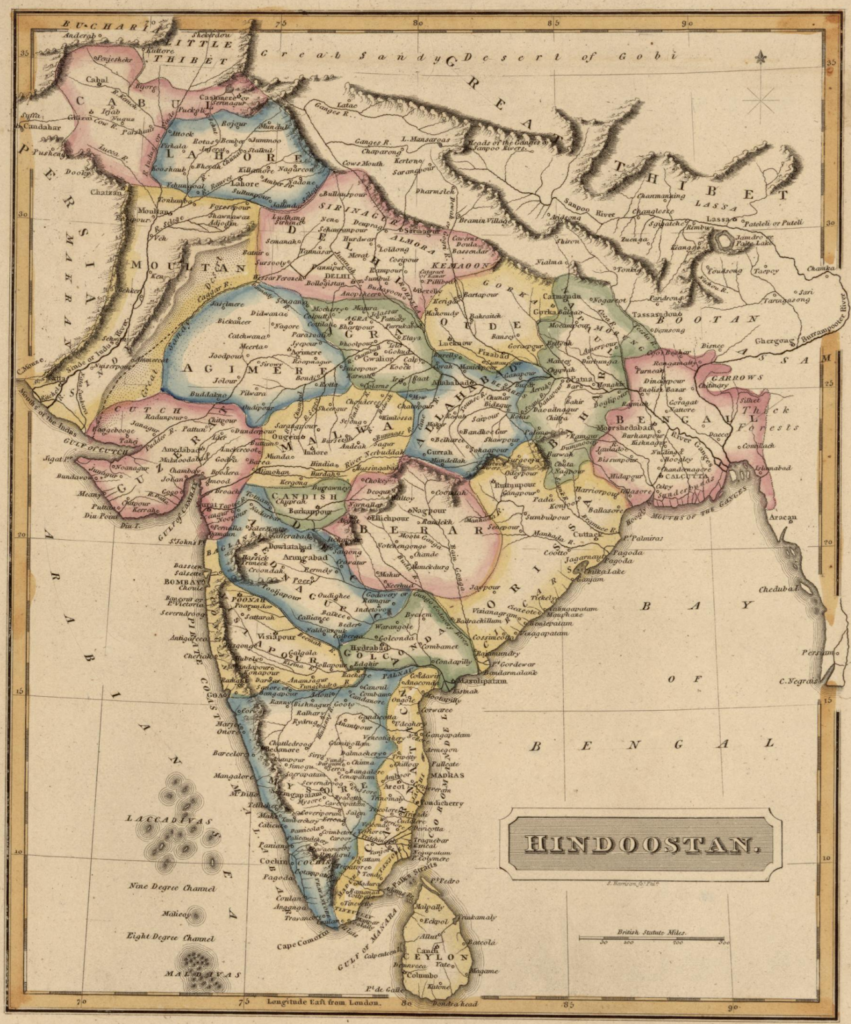
Map Of Hindoostan 1817.
Map Of Colton’s Hindostan or British India 1870.
Map Description
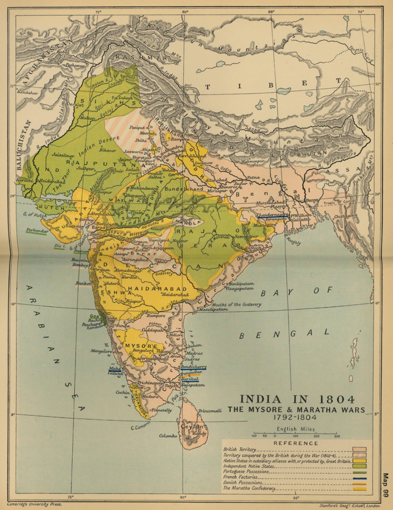
Historical Map of India in 1804: The Mysore & Maratha Wars 1792-1804Illustrating- British Territory
– Territory conquered by the British during the War (1802-1804)
– Native States in subsidiary alliance with, or protected by, Great Britain
– Independent Native States
– Portuguese Possessions
– French Factories
– Danish Possessions
– The Maratha ConfederacyCredits:
University of Texas at Austin. From the Cambridge Modern History Atlas, 1912.