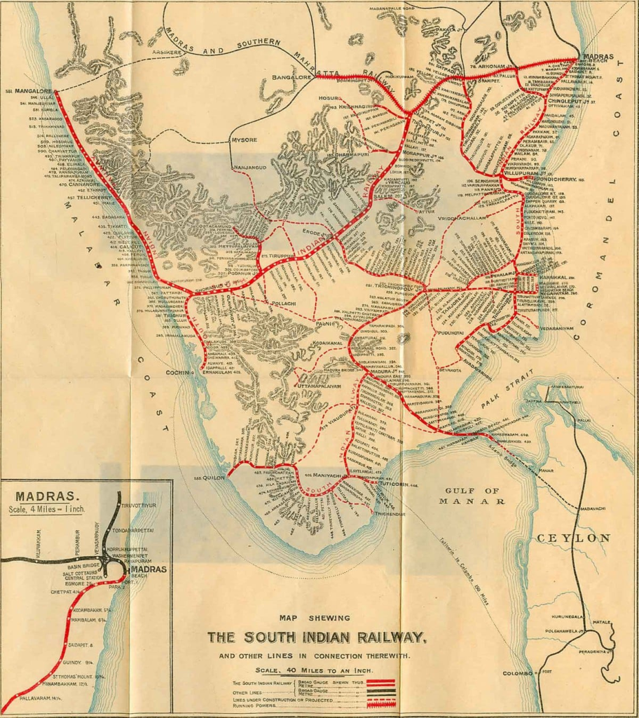

India Map – 1917
Published under the direction of Colonel Sir S.G. Burrard, K.C.S.I.R.E., F.R.S., Surveyor General of India.
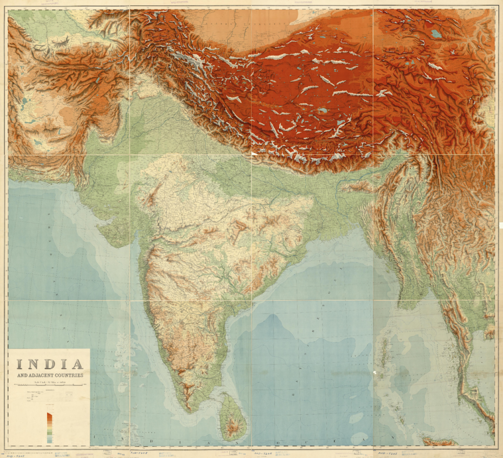
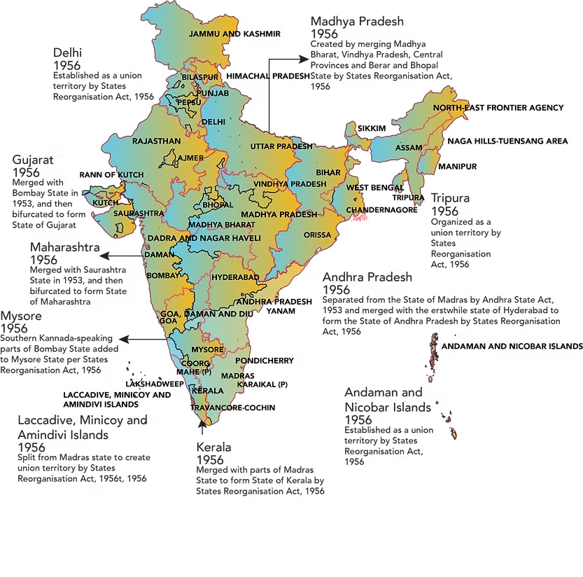
This map illustrates the transformative evolution of India’s political landscape during the 1900s, a period marked by the transition from princely states and colonial provinces to a more unified administrative framework. The boundaries shown reflect a mosaic of regions such as Bombay, Madras, Hyderabad, and Mysore, alongside centrally administered areas and smaller entities like Saurashtra, PEPSU (Patiala and East Punjab States Union), and Vindhya Pradesh. It captures the early post-independence phase when India was reorganizing its internal structure, preceding the major linguistic reorganization of states in 1956. The presence of multiple smaller states and varying administrative units highlights the complexity of governance during this period and provides a clear visual baseline for understanding how modern state boundaries in India gradually emerged through consolidation and reorganization.